
Strava guides 4 MIN READ
How to get your Strava map as an image (and why a screenshot will not print)
Strava's share sheet makes an image of the map with your stats on it. A screenshot makes another. Neither is a file you can print from — here is what each gives you, and the version that scales.
Two things get called "the Strava map image", and they are very different files. One is a picture. The other is the route. You want the picture for a story and the route for everything else.
The picture: Strava's share image
In the app, open the activity and tap share. Strava's support page describes what you get: if the activity has photos, you can share a map or a photo; if not, the map. Strava adds the relevant stats to the image — moving time, distance and elevation for a ride; moving time, distance and pace for a run or swim. From the share sheet it can go to Instagram, WhatsApp, a message, an email, or to your own phone.
Only GPS-recorded activities can be shared as a map. Indoor and manual activities cannot — there is no map to show.
That image is the fastest way to a story, and it is a picture of a screen: a few hundred pixels across, with Strava's map style, Strava's typeface and Strava's stats layout baked in. You cannot change the colour, remove the map or make it bigger without it going soft.
The other picture: a screenshot
On the website there is no image export, so people screenshot the map. It works for exactly what a screenshot is for. It is also the same problem as above, plus the interface around it — and cropping it tighter makes it smaller, not sharper.
The route: what actually scales
The map image is a rendering of coordinates. The coordinates are the thing worth having, because from them the line can be drawn at any size, in any colour, with or without a map, with your numbers or without.
- On strava.com, open the activity, more menu, Export GPX. (On a phone, open the desktop site first — the app workaround.)
- Drop the file into the configurator. It is drawn in your browser, immediately, as a single line on paper. Nothing is uploaded while you look.
From there it is the same route at 30×40, 50×70 or 70×100 cm and it stays sharp, because it is geometry rather than pixels. Add a map behind it if you want one — clean line or a map behind it is the decision — or leave it as the line, which is the version Strava's share sheet cannot make.
If you would rather not handle a file, connect the account instead and skip the export.
Route with a transparent background
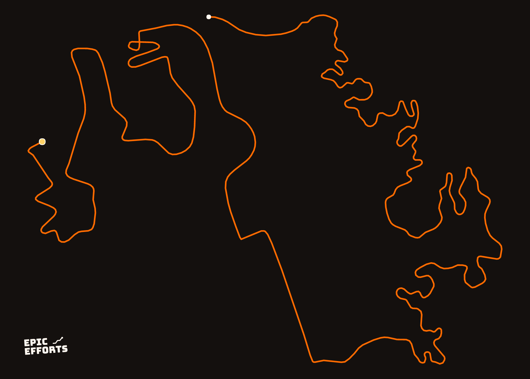
A common wish is the line alone, no map, to lay over a photo. Strava's activity share does not offer that — its share image is always the map with stats. The clean-line motif is that picture: the route on a plain ground, which reads as a drawing rather than a map. On paper it is the whole product; on a screen it is what people are trying to make with a screenshot and an eraser.
Heatmaps are a separate case
If the image you want is every route at once — the personal heatmap — Strava draws it for subscribers and does not export it in any form. The heatmap guide covers what it shows and the bulk export is how the activities behind it come out as files.
Questions people actually ask
- How do I save a Strava map as an image?
- In the app, open the activity and use share. Strava lets you share the map (or a photo, if you attached one) with your stats added — moving time, distance and elevation or pace. Send it to yourself or save it from the share sheet. On the website, a screenshot is the only image option.
- Can I download my Strava route as a PNG?
- Not from Strava. The share image is what the app produces; there is no PNG export on the website. For a clean picture of the line at any size, export the GPX instead and draw it — the configurator does that in the browser.
- Can I get the Strava route without the map background?
- Not from Strava's share sheet, which always shows the map. Export the GPX and draw it as a clean line: the configurator's default motif is the route on plain paper, no map.
- Why does the shared image look blurry when printed?
- Because it is a screen-sized picture — a few hundred pixels across. A 50×70 cm print needs the line as geometry, not pixels. That is what the GPX gives you: a route drawn at any size stays sharp.
YOURS, FROM A FILE, IN 90 SECONDS
One effort. One sheet of paper.
Bring the file and every choice is yours: paper, treatment, colour, which numbers come along. Uncoated matte in 250 or 170 gsm, made to order at the facility nearest you, rolled in a tube.
Print it. FROM 319 kr